 With all that Christmas dining, sitting around the table playing games, and doing nothing more energetic than jigsaw puzzles, one eventually gets to long for a way to work off a few calories and clear out a few cobwebs.
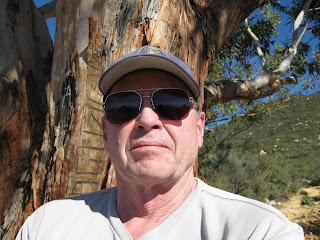
So on December 29 Dick (aka Gordo) decides to take advantage of a fine sunny day and hike up the Cold Spring Trail east fork as far as the eucalyptus grove midway up the mountain (that's about all he can do, in his present corpulent condition).
 The weather is perfect, crystal clear and in the high 50s to start the morning, and warming up to the 70s as the hike progresses.
The trail is still a little wet from the recent rains but the views, as usual, are terrific and well worth the effort.
This view to the left, looking east toward Summerland and Carpinteria, is a little hazy due to a controlled fire in the back hills of Summerland, but otherwise shows the great panorama available toward the coast from 2000 feet up the mountain. On a clear day such as this you can see all the Santa Barbara Channel Islands: Santa Barbara, Anacapa, Santa Cruz, Santa Rosa and San Miguel, and from Pt. Mugu east, to Coal Point off the UC Santa Barbara campus and Gaviota to the west (the Santa Barbara coast faces south which is why the hills of Santa Barbara get warmed by the sun all winter long).
 Dick agrees with Ray Ford Jr., the authority on trails in the Santa Barbara area (he has published several best-selling guides) who says, "This is absolutely my very favorite trail."
One of the pleasures of this trail is the wide variety of scenery along the way, from ocean panoramas to tunnels through overhanging foliage, to huge random boulders, with deep clear pools and small waterfalls along the Cold Spring. On a hot summer day it is the one trail that stays pleasantly cool, cooled by the Cold Spring flowing along the lower portion of the trail.
Dick has lost count of the number of times he has been up this trail, more than a dozen since 2001, including twice that year with his daughter Katie. They made the trip all the way to the top of Montecito Peak (2450') and happened across a coyote roaming the trail. In November 2003 Katie, with Josie (her dog) and John Wood (her future husband) and Hanna, Dick's granddaughter, hiked the loop up to the Edison powerline towers and back as a brief taste of the pleasures of hiking. This inevitably led Dick, Katie and John to seek out the even greater hiking experiences in the high Sierras, but that is a story for another time.
 In the summertime hikers come up here just to swim in the pools, or just sit by the waterfalls and listen to the sound of the water.
And almost daily, mountain bikers start at the top of the mountain from the trailhead at 2775' on East Camino Cielo and careen to the bottom along the winding treacherous trail, usually with a miniature cowbell tied onto their handlebars to alert the hikers below that they are coming. (Helmets and steel nerves a requirement.)
Dick has seen an even rarer extreme sport on the trail: unicyclists riding up the hill from bottom to top, a total distance of 4.5 miles with an elevation gain of 2450 feet to the crest.
Perhaps that is one of the special attractions of this trail, you never know what to expect, and no two climbs are ever the same.

Beautiful photos! I love the tunnel trail.
ReplyDeleteFantastic post, and beautiful pictures! I'm so glad you got up there before the new year- it's a nice way to top off 2008. I hope that we might go for a few strolls when I come out in Feb. Maybe I can't make it up to the peak, but I can usually hoist my 3rd trimester belly up a hill OK!
ReplyDeleteLove you, K (and J and L)